
AUSTIN, Texas — We're tracking a cold front incoming from North Texas. Sunday through Tuesday, Central Texas can expect to see some changes in the dry pace of weather so far this summer.
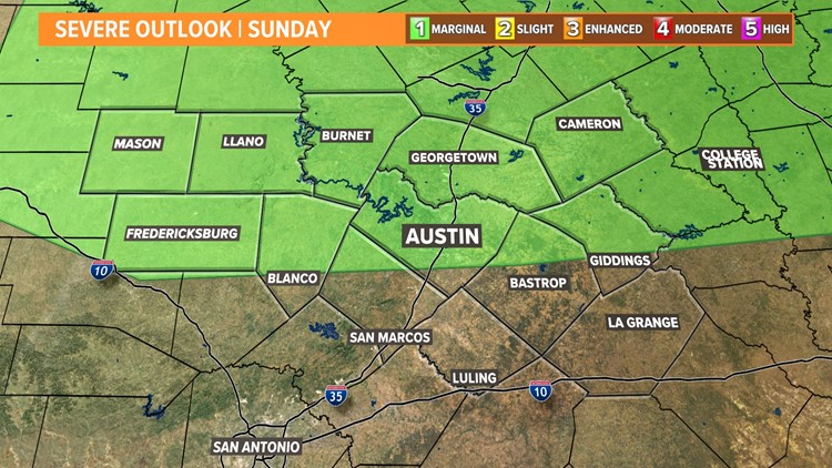
For Sunday, areas north of and including Austin will be under a marginal risk for severe weather – a level 1 out of 5 in terms of severity.


Timing for this event will be around 3 p.m., lasting potentially through 8 p.m. However, greatest chances for rain will be between 4 p.m. and 6 p.m. Sunday.

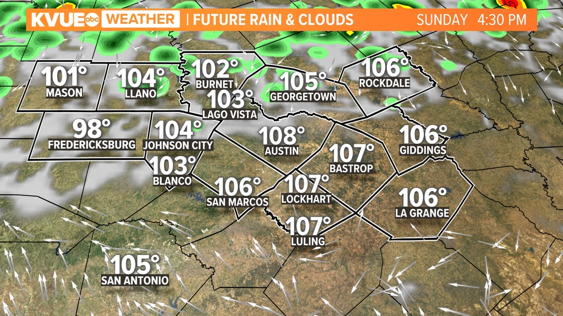
As the cold front sinks our way on Sunday afternoon, it is possible some neighborhoods will feel widespread showers and eventually a few rumbles of thunder too. High resolution models are in low confidence that stormy weather will stretch all the way down to the Austin metro, but it's best to be prepared.

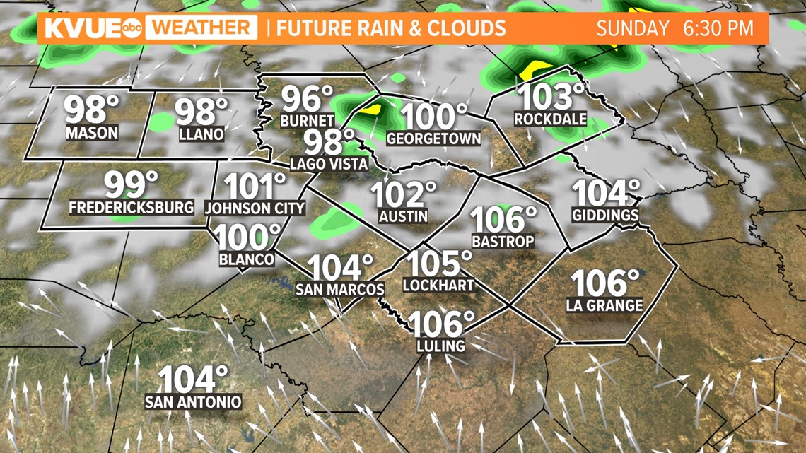
Due to the exceptional and extreme drought, heavy rains that fall due north could affect the flow of our rivers and raise water levels or cause some flash flooding. However, the main risk for any storms that form will be gusty winds and heavy downpours.

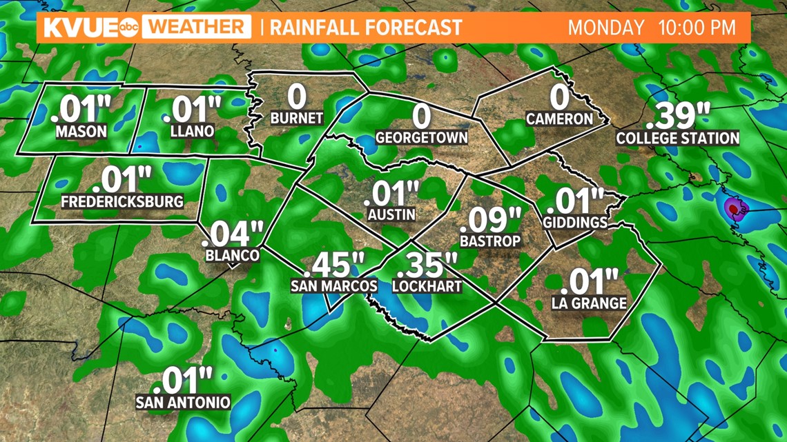
Overall rainfall totals over the next 36 hours will stay humble for most, but pockets of 1 inch or more could be possible. Sunday rains will favor northern portions of Central Texas, while central and southern areas get a better chance throughout Monday.
