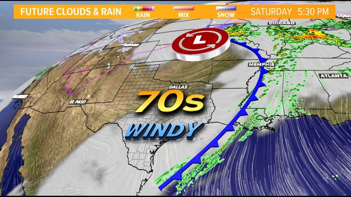
AUSTIN, Texas — Another weekend, another cold front! This one will finally bring some sunshine to enjoy most of the weekend, but there will be a few bumps along the road to that much anticipated sunshine.
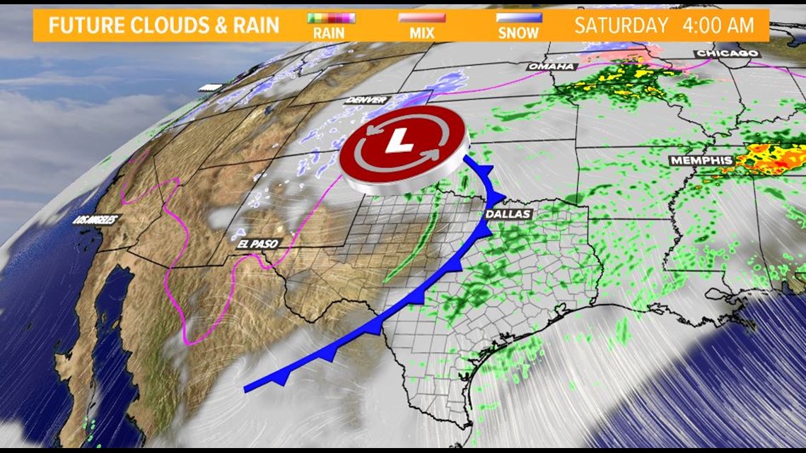
FRIDAY NIGHT
As the cold front approaches, this will spark up with a 60 percent chance of showers overnight. A few thunderstorms are definitely possible. Rainfall amounts of less than a tenth of an inch are expected. Isolated areas may see higher amounts in thunderstorms.
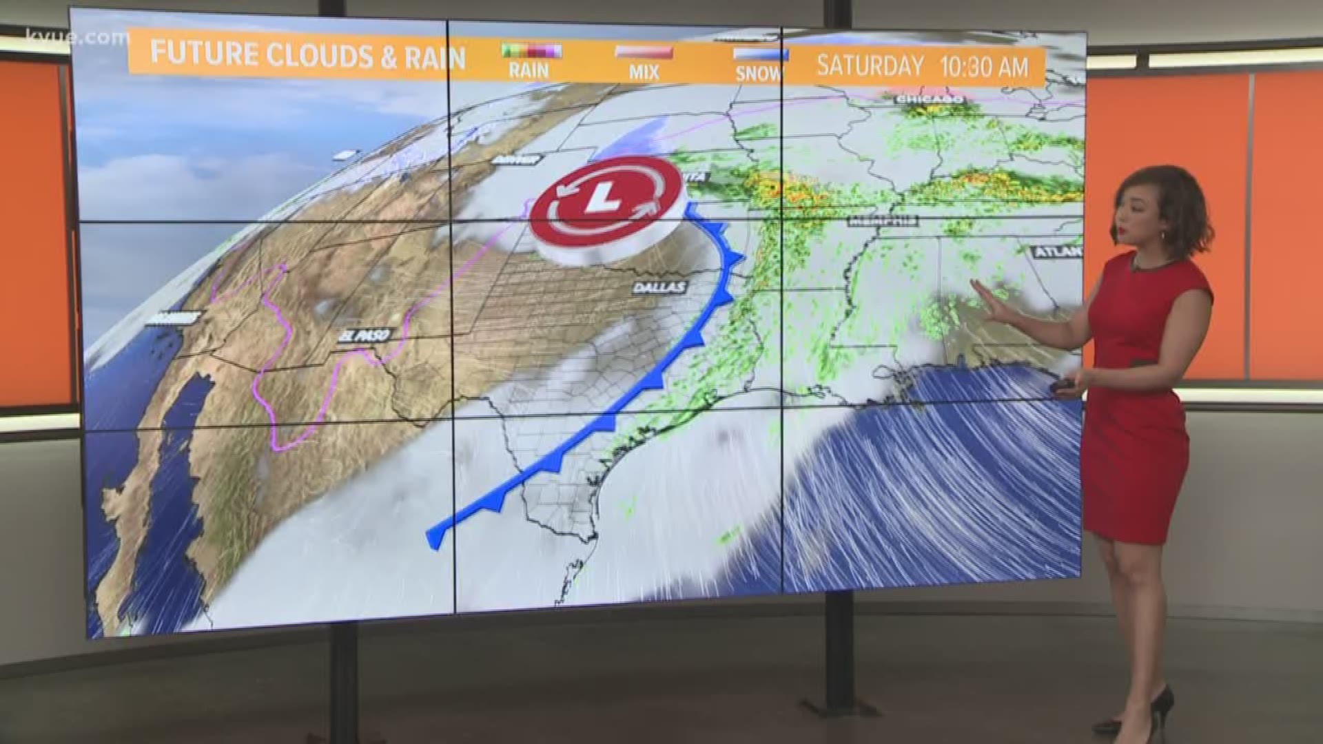
SATURDAY MORNING
Rain chances will still be in place as the cold front will be pushing through at this time. The front should be out of our viewing area by 10 a.m. This will bring gradually clearing skies behind it.
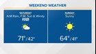
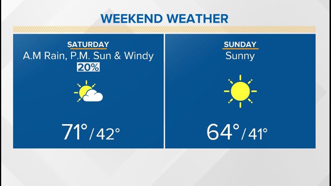
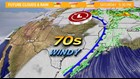
SATURDAY AFTERNOON
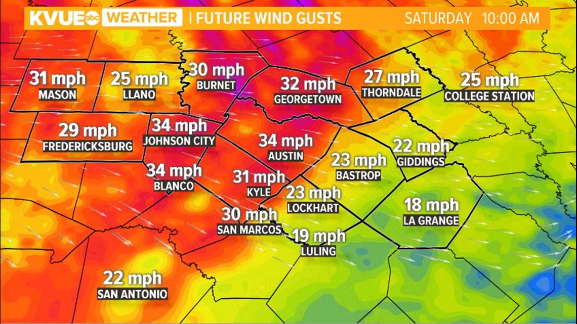
Skies will still be clearing eventually giving us lots of sunshine by Saturday evening. Highs will be in the low 70s, but heads up on a very windy Saturday ahead.
CRITICAL FIRE WEATHER CONDITIONS POSSIBLE
Gusts could be as high as 35 mph on Saturday. With the much drier air arriving and gusty winds, critical fire weather conditions will be in place and a Red Flag Warning may have to be issued. Dew point temperatures will be in the teens and 20s, relative humidity less than 30 percent.
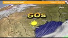
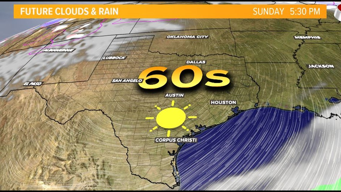
SUNDAY
Winds will calm down and highs will be slightly cooler with lots of sunshine. Talk about a picture perfect day!