
AUSTIN, Texas — In Central Texas, rainy weather patterns fill local lakes and rivers, saturate the ground and cause flooding concerns.
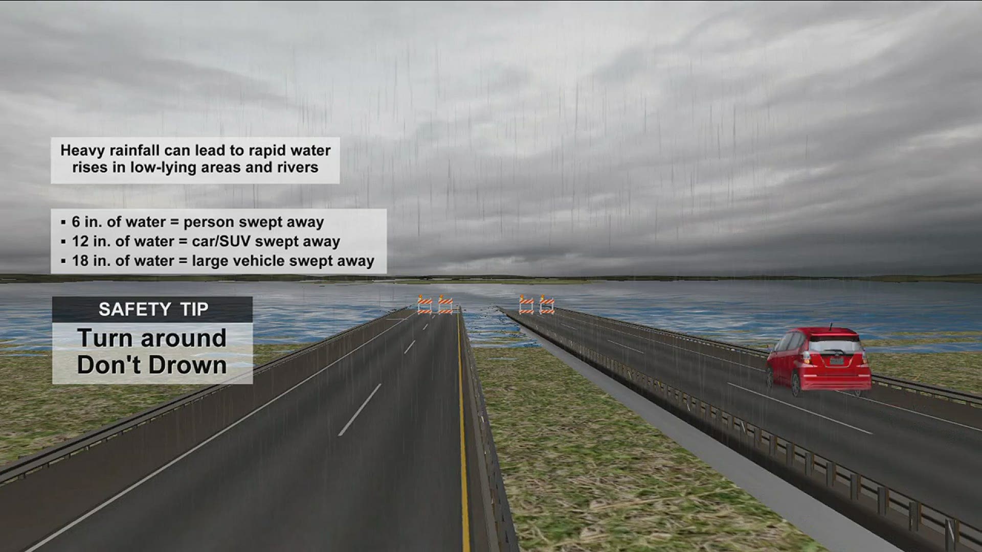
If you get caught in the rain while driving, remember the Texas saying: Turn around, don't drown. If you see water flowing over a roadway, it's always best to be on the safe side and find a different route. A car can get swept away in as much as 12 inches of water.
ATXFloods.com checks for the status of low-water crossings in the Austin area. Some of them may close in the event of flooding. Here's a map of closures you can check.
The Texas Department of Transportation's map of highway conditions includes information about flooding on roadways. Click here for the full map. If you use this map, here's how to filter out the flooded roadways:
- Click "Default Location
- Toggle off "Construction" and "Damage," and toggle on "Closures" and "Flood"
- Click "Hide Menu" at the bottom.
Once the menu is hidden, you will see "Show Menu" at the bottom right, which you can click to adjust the view.
The map may reset the settings if you have the page open for an extended period of time and you may have to set up the filters again.
If you must drive, you can also check for Austin-area road closures on this interactive map.
If you must drive when it's raining hard, take it slow. If a signal is dark, treat it as a four-way stop.
PEOPLE ARE ALSO READING: