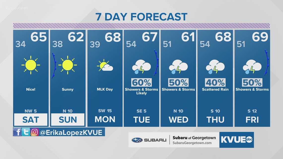
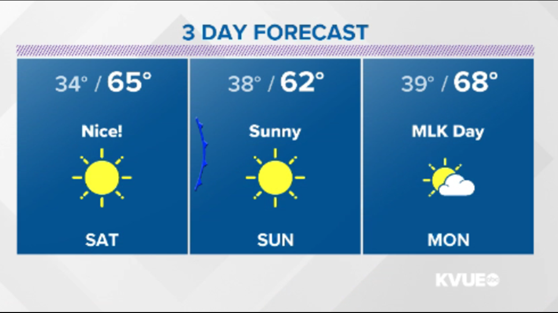
AUSTIN, Texas — Soak up the sunshine this weekend while you can! After a picture perfect weekend (minus the high cedar pollen count), clouds start rolling in by Martin Luther King Jr. Day. This This will be Gulf moisture on the rise ahead of rounds of rain that could begin by late Monday night.

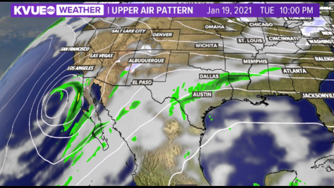
These rounds of rain will be initiated by a cutoff area of low pressure that will linger in the Baja California region through mid-next week. As the system finally starts to shift east, it keeps rain chances in the forecast for Central Texas that finally start to taper off by the weekend.

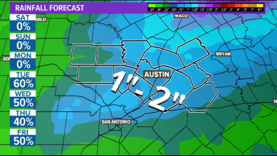
Computer models continue to show a storm system moving into Central Texas in the Tuesday to Wednesday timeframe, with fairly widespread rain and maybe even a few thunderstorms. Beyond the seven-day forecast, long-range guidance is even showing the potential for additional rounds of rain through Thursday and into Friday.
Early indications from our computer models suggest this system could bring heavy rain and maybe even some strong to severe storms. At this time, 1 to 2 inches of rain is possible from Tuesday to Friday of next week with locally higher amounts possible.
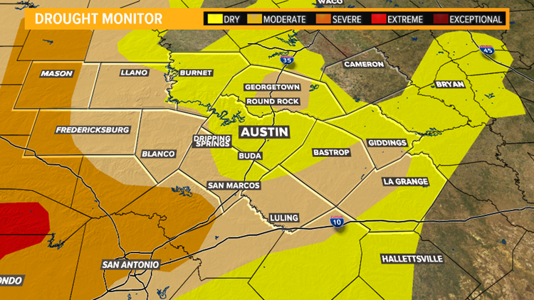
Unfortunately, the lowest totals are currently expected across the Hill Country, where the drought conditions remain the worst.

The six-to-10-day precipitation outlook from the Climate Prediction Center also highlights Central Texas as a location that is likely to experience above-average precipitation in the Jan. 19 through Jan. 23 timeframe.
The KVUE Storm Team will continue to closely monitor the forecast trends, and will provide additional updates.
In the meantime, the extended forecast can be found below: