

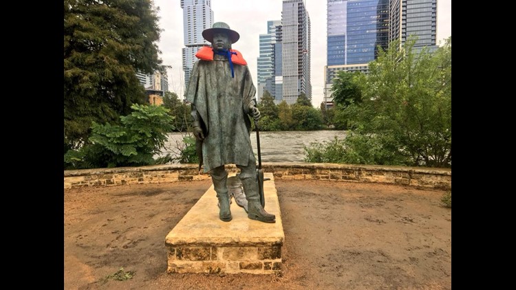
AUSTIN — Note: This blog is no longer being updated as of Friday, Oct. 19. Stay up to date with the latest weather coverage, here.
This weekend, Lake Travis is expected to continually rise and measure a few feet below the record set in 1991, according to projections by the Lower Colorado River Authority.
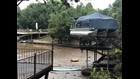
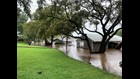
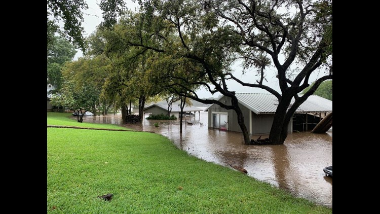
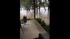
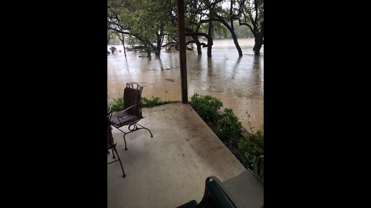
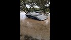
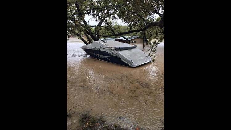
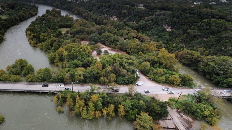
The water levels at Lake Travis have consistently risen over the past week due to rainfall runoff and the filtering of floodwaters from the Llano River.
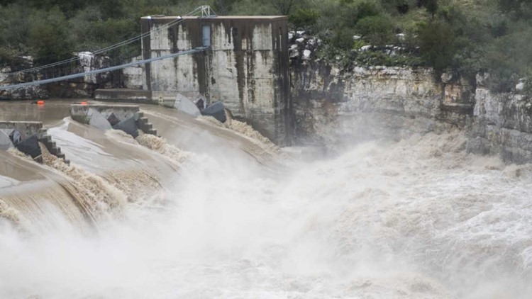
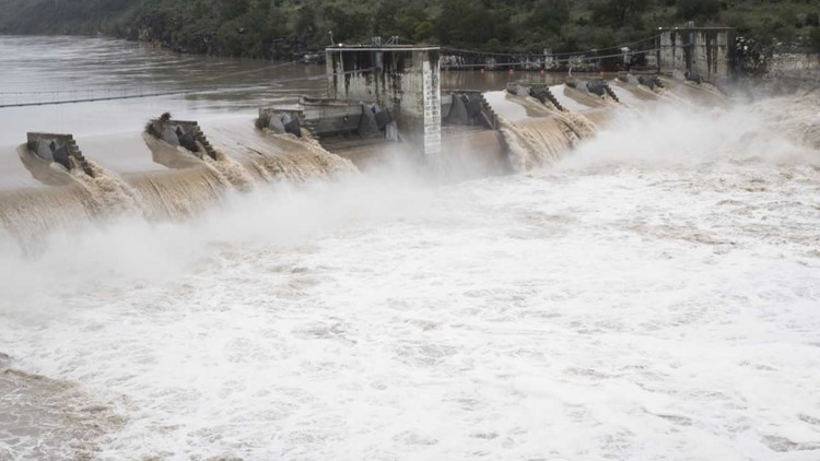
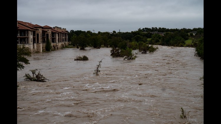
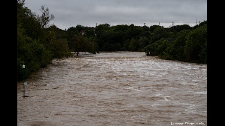
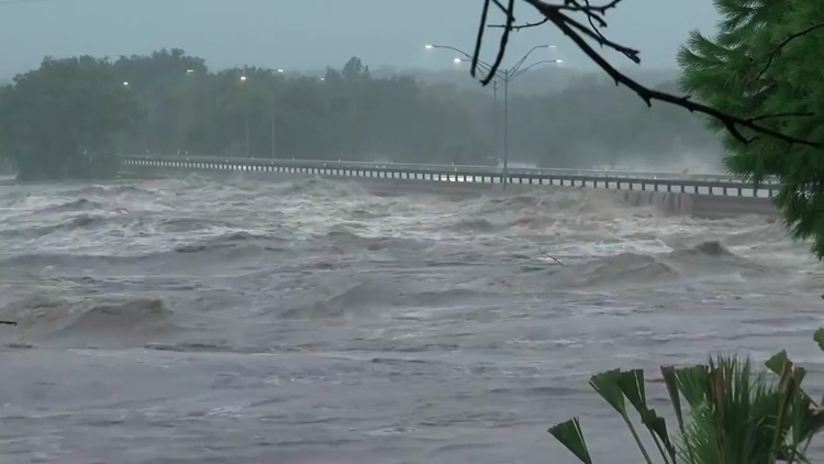
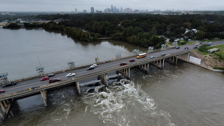
As of Friday, Oct. 19, Lake Travis measured at 704.2 feet. It's the fifth highest crest on record, but the Lower Colorado River Authority projects that the lake will rise even higher. The maximum height Lake Travis can reach before waters surge over the Mansfield Dam spillway is 714 feet, but the lake has never in recorded history done this before.
RELATED:
In 1991, Lake Travis reached its highest crest on record at 710 feet, and the LCRA expects lake levels to rise just below that sometime on Saturday, Oct. 19. The LCRA said it's likely Lake Travis will rise another three to five feet Saturday, which would put water levels between 704 and 706 feet above mean sea level. At 706 feet, that would put Lake Travis' crest at the third highest crest on record.
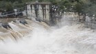
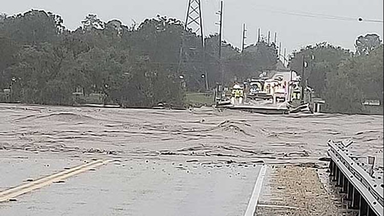
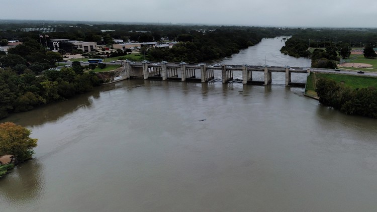
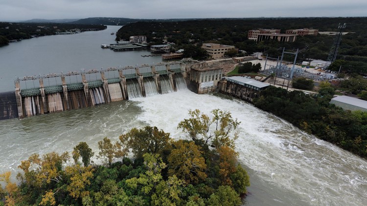
Currently, the LCRA has four floodgates open at Mansfield Dam to regulate Lake Travis, and they're considering opening four more as the lake levels rise and rainfall chances increase. If eight of the 24 floodgates are opened at Lake Travis, it would be the most floodgates opened in recorded history for the lake. LCRA officials said they would not open more floodgates at Mansfield Dam Friday, but as weather conditions change, their decision could change too.
The LCRA said they would alert the public and local officials if they did decide to open four more floodgates.
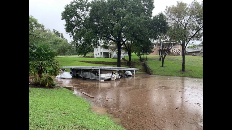
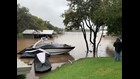
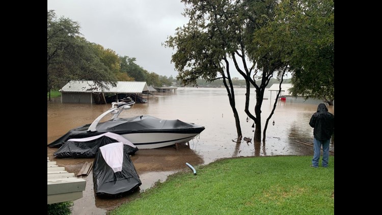
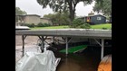
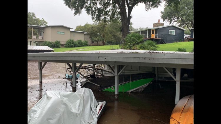
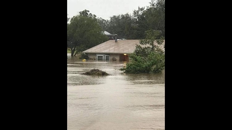
The additional opening of floodgates at Mansfield Dam would create flooding problems for homeowners who live along Lake Austin, Lady Bird Lake and Lake Travis.
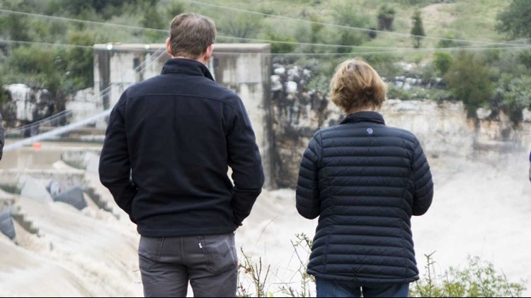
“I wouldn’t want to be the person that has to make those decisions because we know when water is released we know it’s serving a purpose and the dam is doing what it’s supposed to do, but we know it’s going to cause problems for people and property on down the line so it’s a hard decision to make," said Steiner Ranch resident Michael Spooner.
WEATHER BLOG
Friday, Oct. 19
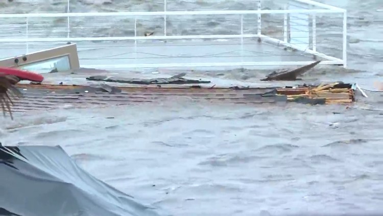
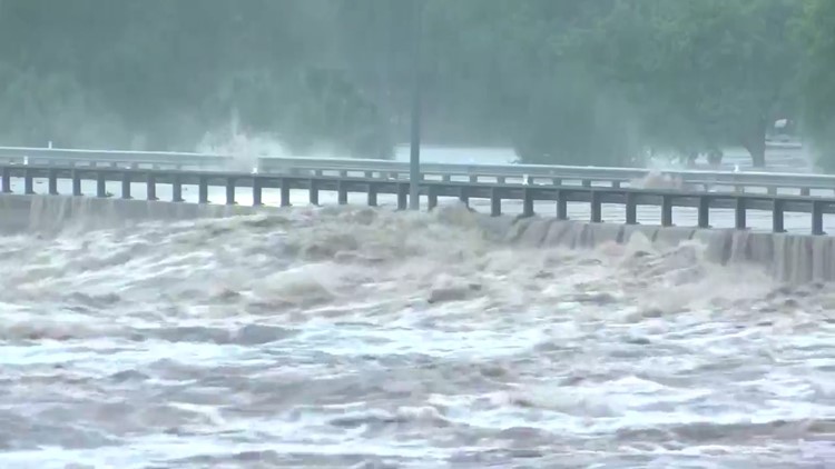
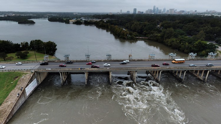
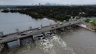
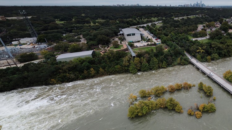
4:00 p.m.: All seven floodgates at Longhorn Dam open.
2:30 p.m.: Gov. Greg Abbott announces that 36 counties have been added to the Disaster Declaration. This is in addition to the 18 counties that were already on the list.
2 p.m.: Lake Travis is at its highest level in more than 21 years at 704.2 feet. It is currently 146 percent full. It has reached the fifth highest level in its history, KVUE's Albert Ramon reports. "We expect it to climb to the fourth highest in history later Friday and possibly third highest tomorrow.
10:21 a.m.: The LCRA said they would not open four additional gates at Mansfield Dam Friday. They also projected that Lake Travis would rise to 704-706 feet.
9:17 a.m.: The Llano River is no longer under a flood warning. It's currently measuring a little more than seven feet and is forecast to remain below flood stage.
8:30 a.m.: Lake Travis is 145 percent full at 703.91 feet. The LCRA is making controlled releases from the flood pool of Lake Travis and may open additional gates in the next few days.
6:20 a.m.: Laker Travis remains at 703.73 feet -- the fifth highest crest in recorded history. It's expected to rise to 710 feet sometime Saturday.
Check out Thursday, Oct. 18 coverage in our previous weather blog, here.
NEED TO KNOW
As of Friday, A flash flood threat continues for many parts of Central Texas with additional rain in the forecast. According to the National Weather Service, in the Hill Country and the I-35 corridor, some spots could see up to five inches of rain.
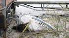
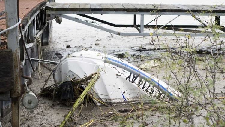
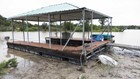
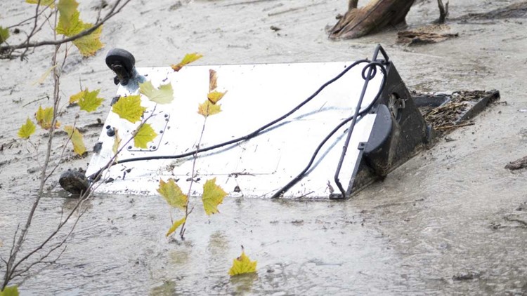
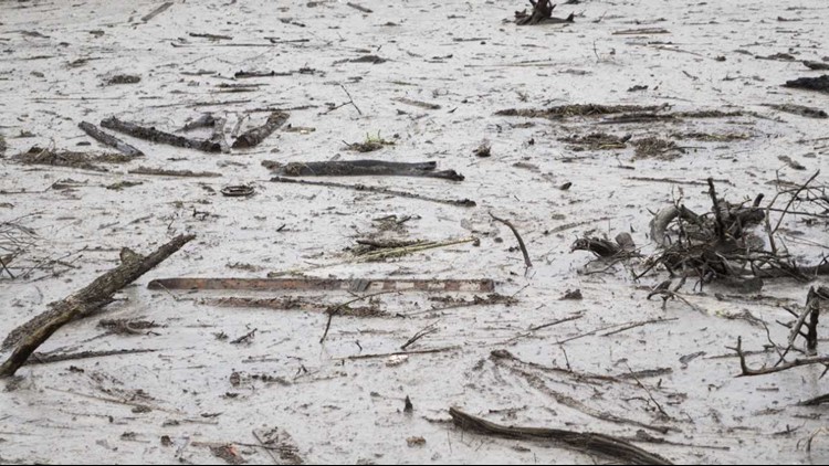
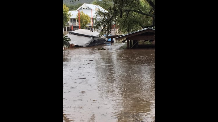
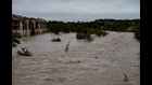
‘Historic flood’: How flooding has impacted Central Texas


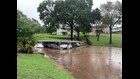

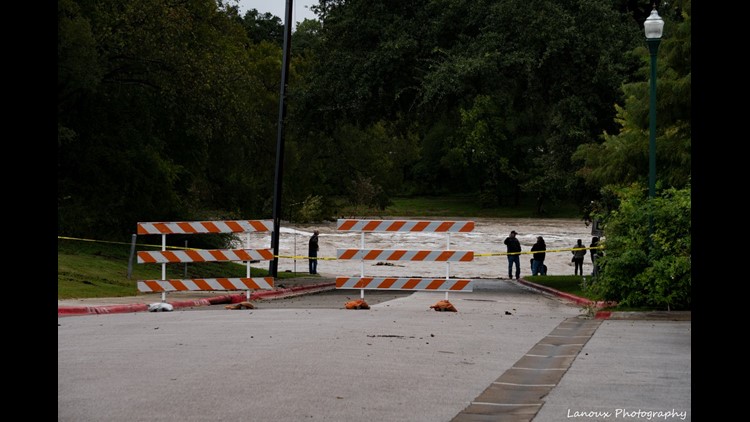


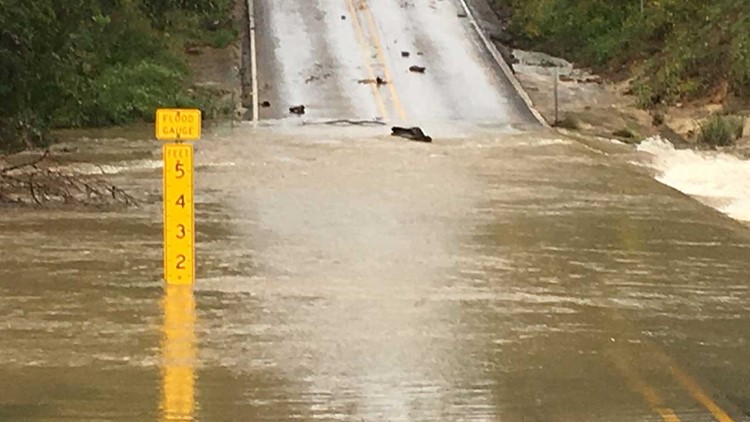

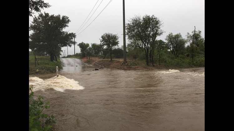
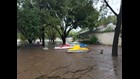


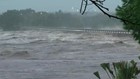
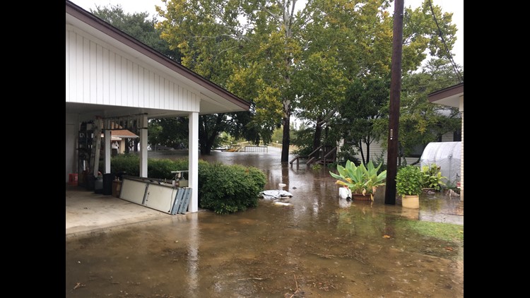

The NWS said the region is already saturated due to recent heavy rainfall. So, additional moderate to heavy rainfall will lead to rapid runoff, cause new river rises, and additional flash flooding, the NWS said.
RELATED:
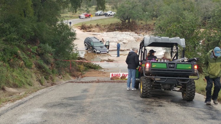
ROAD CLOSURES
Here are all of the road closures for Friday, Oct. 19.
Travis County
- Westbound Cesar Chavez and B.R. Reynolds Drive
Llano
- W. Sandstone at Flag Creek
- RR 2241 at Wright's Creek
- CR 102 Scott's Slab at Llano River
- RR 2241 at Little Sandy Creek
- RR 2241 at Little Llano River
Marble Falls
- Between Ave. U & Industrial Blvd.
- 400 - 700 block Avenue T: Between 4th St. & 7th St.
- 1400 block Nature Heights Dr: Between US-281 & Commerce St
Horseshoe Bay
- Hi Circle N @ Slickrock Creek
- Hi Mesa @ Slickrock Creek: Hi Mesa West of Purple Sage
- Dew Drop @ Tiger Creek: Dew Drop near Thanksgiving Mountain Rd
Kingsland
- Llano river crossing at 3404 closed (Slab road) due to rains upstream
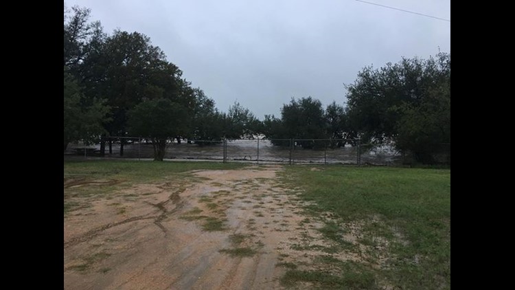
As of 6:30 a.m. Friday, ATXFloods.com showed that 97 low water crossings were closed across Central Texas.
SHELTERS OPEN FOR EVACUEES
Lago Vista evacuees can visit the Lago Vista High School Performing Arts Center for help. It's been set up as a temporary shelter.
If you live in Llano County, two shelters are open for people. The Llano County Office of Emergency Management said the John Kuykendall Arena & Events Center at 2200 W Ranch Road 152 and Lutie Watkins Memorial United Methodist Church at 800 Wright St.are both taking in evacuees.
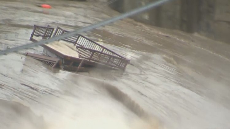
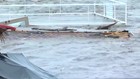
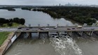
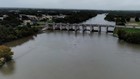
PHOTOS: Striking photos taken above Longhorn Dam and Tom Miller Dam

Llano County Office of Emergency Management said shelters are being set up at the 1st Baptist Church and Inmans Kitchen in Llano. The Kingsland Community Center is also taking in evacuees.
Llano High School opened at 9:30 a.m. Tuesday for evacuees.
If you need to be evacuated, officials recommend contacting the Llano Police Department.
Granite Shoals evacuees are asked to head to the 1st Baptist Church, located at 505 south Phillips Ranch Road.
In Meadowlakes, evacuees can seek shelter at the City of Meadowlakes City Hall. Shelters in place are also available at First Baptist Church Marble Falls and the Burnet Community Center. The City of Meadowlakes and Pecan Valley are not accessible at this time.
The flood response shelter located at Marble Falls Middle School is now closed. Community members can refer to the City of Marble Falls Emergency Alert Center for shelter and residential updates.
RELATED:
MORE INFORMATION
Click here for the flood operations report from LCRA.
Click here for more information on water levels being released from various dams compared to previous days.
Click here for historical water information from Lake Travis.
This is a breaking news story. KVUE will update this story as more information becomes available.